145th Street Corridor: A Neighborhood in Transition
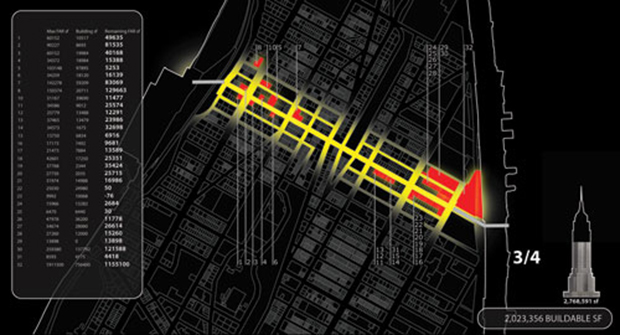
The 145th Street corridor in Upper Manhattan has been identified by various city planning and local community groups as a site for several concurrent initiatives. The purpose of this Urban Design Lab (UDL) study is to analyze this developing area, where carbon emissions from transportation and residential energy use contribute to poor air quality and global warming, and to identify the corridor’s potential to become a sustainable urban community.
By approaching the corridor “river to river”, this study breaks down social east-west barriers with a unifying approach to the community and in doing so finds a unique identity with great potential for future development. Through analysis of its characteristics, several “soft sites” are located along the corridor as prime targets for retail and residential usage; three major parks are identified as key community assets. A ground floor inventory of building fronts and streetscapes along 145th street suggests that retrofitting vacant storefronts and enhancing lighting will contribute to better services, greater safety, and increased walkability. In addition, street level trees and green roofs will help improve air quality and promote a happier, healthier community.


